Tag Archives: NGA West

St. Louis, Missouri

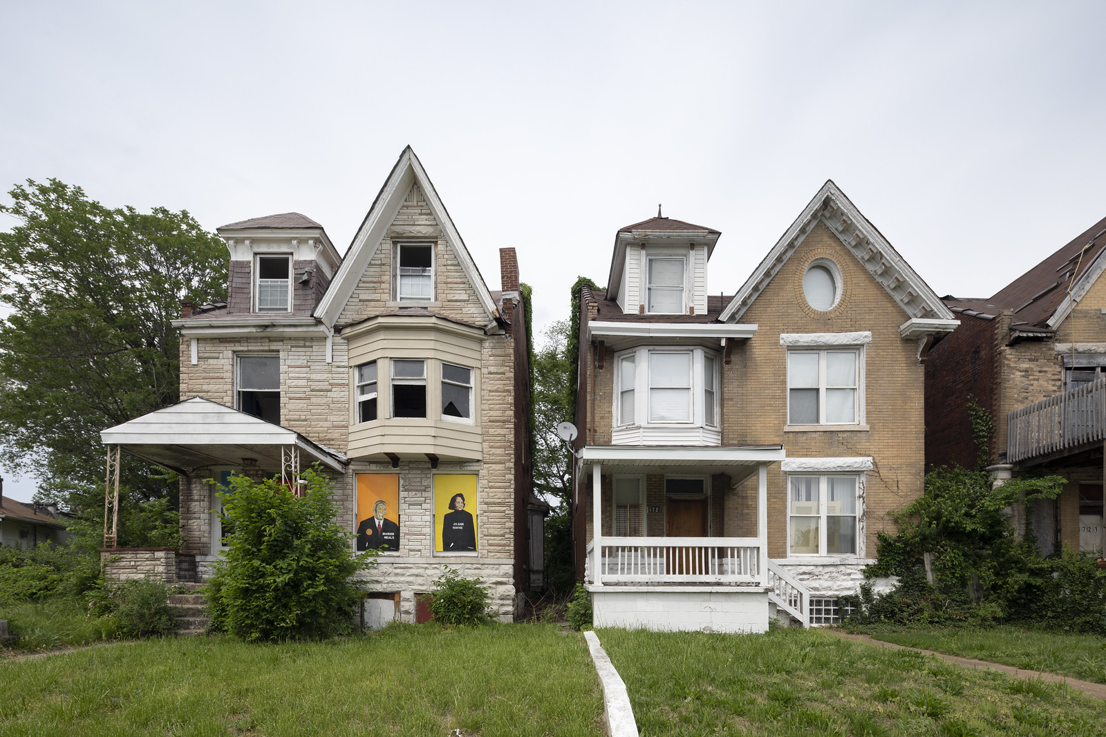
This May wasn’t my first time in St. Louis, but it was the first time I was able to actually get out into the neighborhoods. This post includes some of my favorite photographs from throughout the city, many of which are from its north side. While St. Louis has had a difficult 70 years, the north side has been particularly devastated by not only the typical story of racism, deindustrialization, and public housing demolitions, but also private developers like Paul McKee and the National Geospatial-Intelligence Agency. Numerous groups are fighting back. If you are interested in the history of the neighborhood displaced by the National Geospatial-Intelligence Agency, you check out these interviews.

IMG_4311
This mural, which used to read “End Eminent Domain Abuse,” has quite a history.

DJI_0144 DJI_0134
The former site of Wendell O. Pruitt Homes and William Igoe Apartments (left), and the future site of the National Geospatial-Intelligence Agency (right).

IMG_4851
Zion Lutheran Church (1860)

IMG_4439

IMG_4545

IMG_4998

PAGE AVENUE BEAUTIFICATION PROJECT

Murals by Better Family Life on the side of derelict buildings on Page.

IMG_4681 IMG_4679

IMG_4683

IMG_4685 IMG_4682

WATER TOWERS

St. Louis has three spectacular water towers from the 19th century, two of which are on the north side, Grand Avenue Water Tower (1871) and Bissel Street Water Tower (1885), and one south, the Compton Hill Water Tower (1898).

IMG_4606_7
Grand Avenue Water Tower

IMG_4553 IMG_4631
Bissel Street Water Tower (left) and Compton Hill Water Tower (right)

DOWNTOWN

IMG_4814 IMG_4971
Pet Milk Building (left) and St. Louis Parking Garage (right)

IMG_4992 IMG_4996
Edison Brothers Building Trompe L’Oeil by Richard Hass (left) and Royal Dutch Shell’s Roxana Petroleum Corp. (right)

Special thanks to Claire Nowak-Boyd.