Tag: Map
-
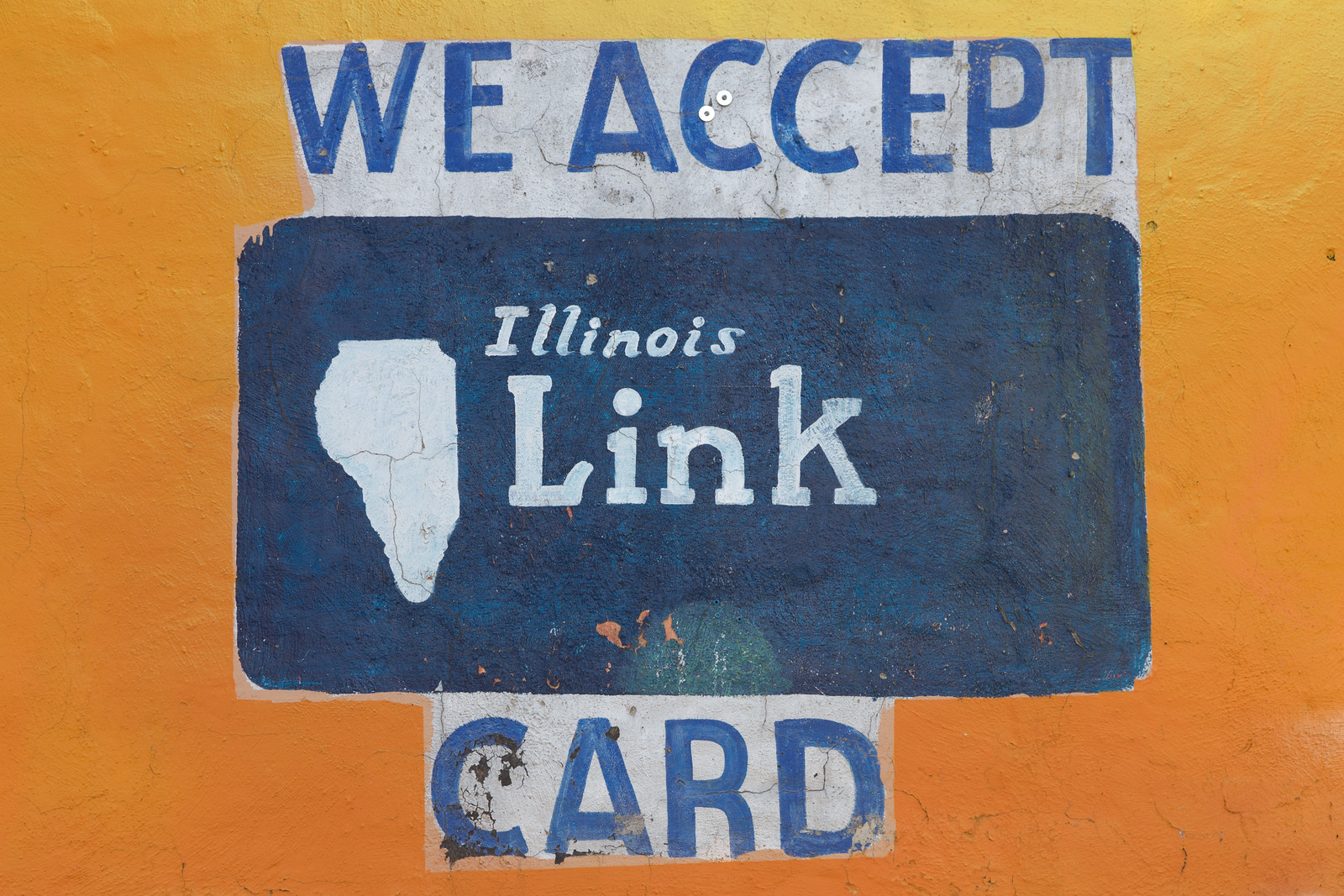
An Alternative Geography of Illinois
There must be more maps of Illinois displayed on Chicago’s South and West Sides than anywhere else in the state. The hand-painted illustrations are rendered on store walls and windows with thick house paint, spray paint, and even airbrushing. Some maps are remarkably accurate, while others more closely resemble teeth, Africa, or even Castellane pasta.…
-
February and March Fast Track Lists
As I mentioned in October: Chicago’s Fast Track Abatement Program is a final step for buildings deemed by the city to be “vacant” and “open” and “constitute a hazard to the community.” Owners of buildings on the list must take corrective action upon receiving notice of the condition of the building. If they do not,…
-
Depicting River Rouge, Michigan
Over the summer, one of my favorite places to visit was the city of River Rouge. The city borders Detroit on its southern edge and includes the entirely industrial Zug Island. I was recently looking for more information about the city, when I found its website and discovered some hilarious surprises in its photography gallery,…
-
October Fast Track Abatement Program Map
Chicago’s Fast Track Abatement Program is a final step for buildings deemed by the city to be “vacant” and “open” and “constitute a hazard to the community.” Owners of buildings on the list must take corrective action upon receiving notice of the condition of the building. If they do not, the city reserves the ability…