Tag: Redevelopment
-
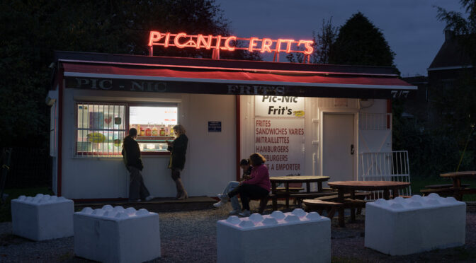
A Photographic Update from Charleroi, Belgium
I first visited Charleroi, Belgium in 2016 as part of my residency at the CRP/ Centre régional de la photographie Hauts-De-France, when I was photographing the future of France’s former coal producing region. Since 2020, I have been continuing that work across the international border through a long-term residency at BPS22 Musée d’art de la…
-
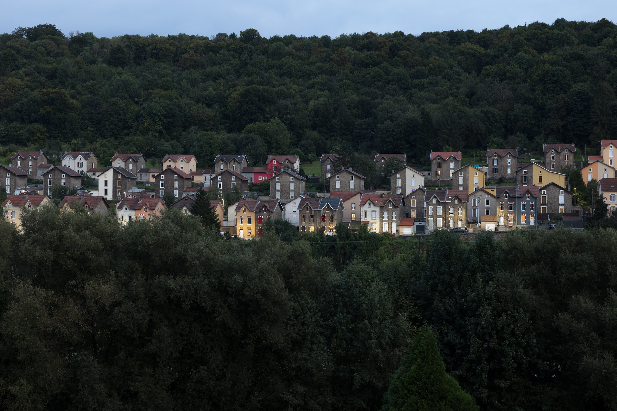
Remix Place on the France-Luxembourg Border
Over the last two years, I have been collaborating with geographers, a playwright, a sound artist, and other scholars on Remix Place, a project designed to explore and represent the experience of residents on the France-Luxembourg border. Conceived for the 2022 European Capital of Culture in Esch-sur-Alzette, Luxembourg, our group has been busy interviewing residents,…
-
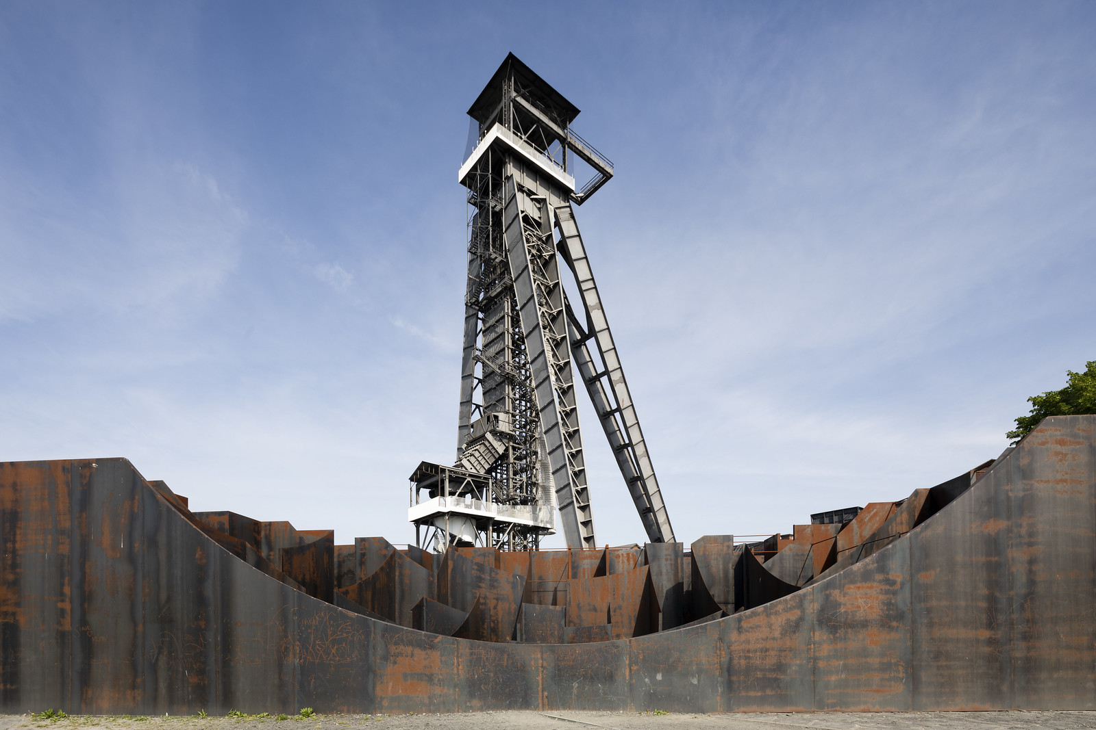
Among Former Coal Mines in France and Belgium
Earlier this summer, I returned to France to continue working on my Hauts-de-France Mining Basin project and to present at a conference about resilience strategies. While there, I photographed throughout the region, including at high-profile coal mine redevelopment sites. Among those I visited are the 51N4E-designed C-Mine complex and Koen Vanmechelen’s Labiomista in Genk, Belgium,…
-
The United States Steel South Works
There’s been a renewed interest in the site of the former United States Steel South Works following Dave Matthews Band Caravan‘s use of the area. Thinking readers might enjoy a little history of the site, I’ve edited a few excerpts from my master’s thesis on the development (and decline) of the site and posted them…