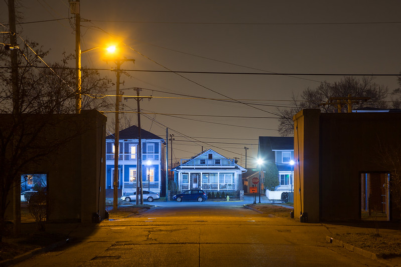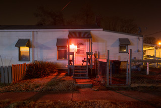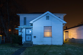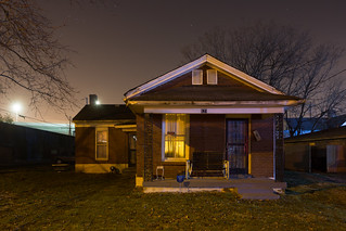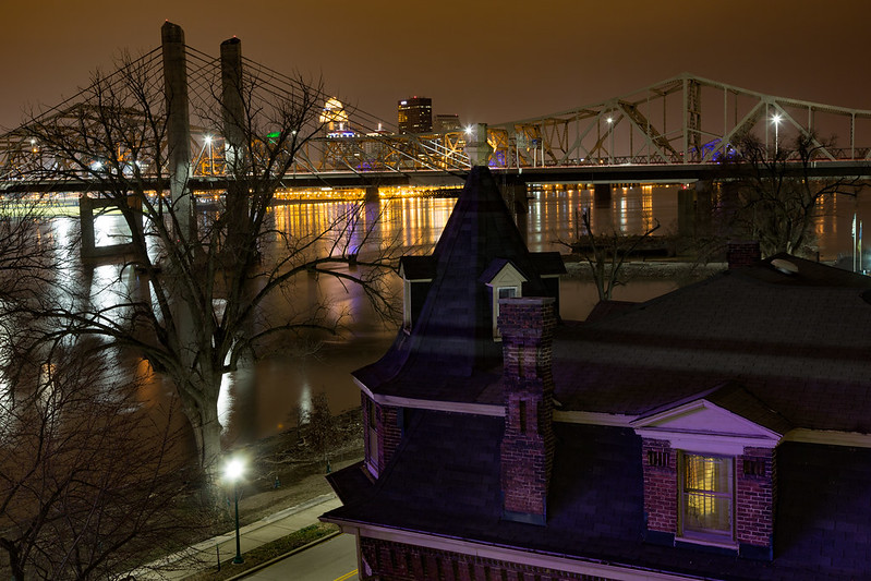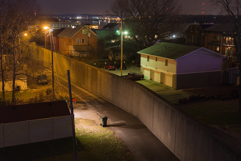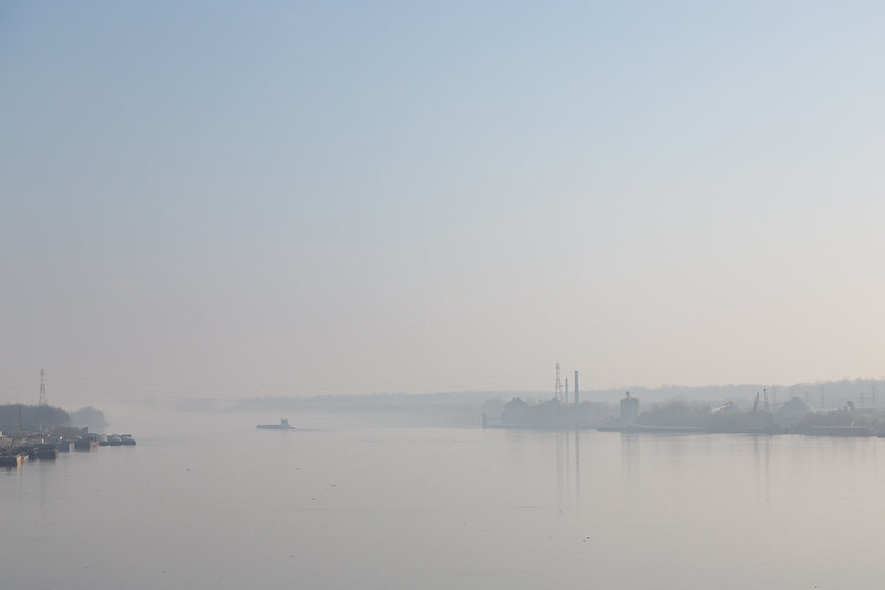
I spent last weekend in the small Indiana cities that share the banks of the Ohio River with Louisville. Like many small towns along the river, the settlements have surprisingly long histories, with founding dates reaching back into the late 1700s. Over these some 200 years, the Ohio repeatedly left its imprint on the cities. To contemporary eyes the clearest marks are ripples from the Ohio River flood of 1937. The flood affected nearly every settlement along its banks, from its origin at the confluence of the Allegheny and Monongahela Rivers in Pittsburgh to where it meets the Mississippi at Cairo, Illinois. In the Kentuckiana region, the Louisville Ohio River gauge reached a record height of 52.15 feet, nearly 30 feet higher than flood stage. For context, the highest the river has reached in recent years was just over 31 feet in 2011, and at time of writing, it is currently at 12.74 feet.
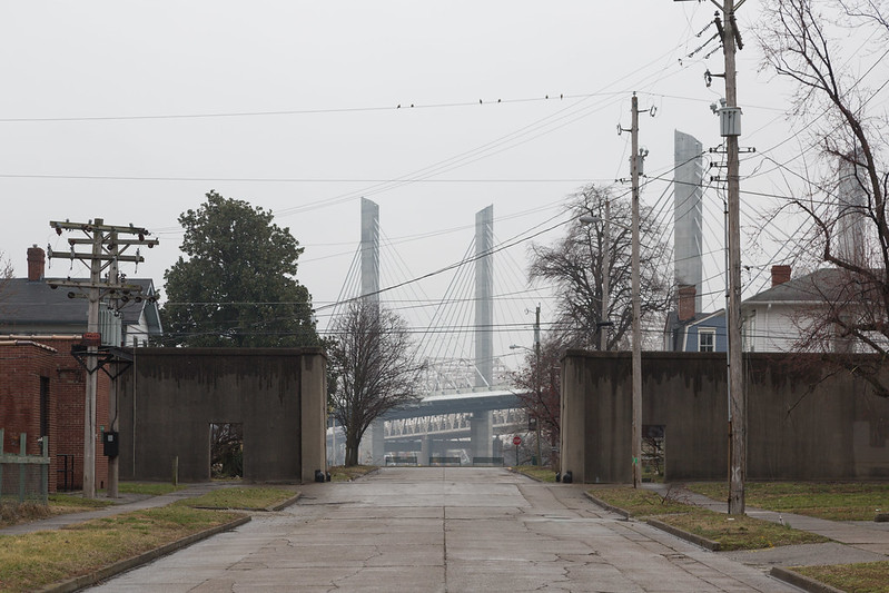
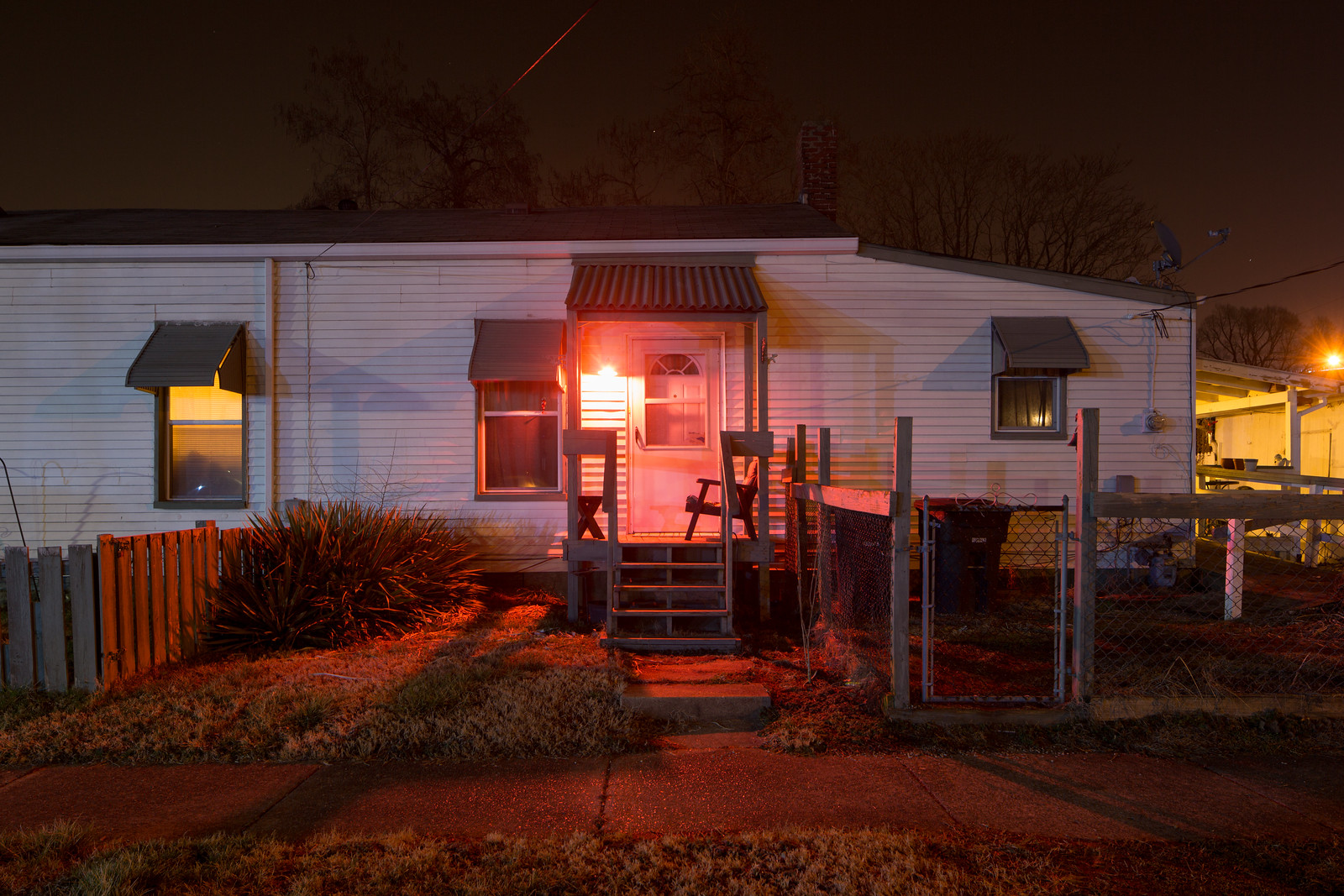
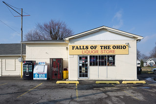
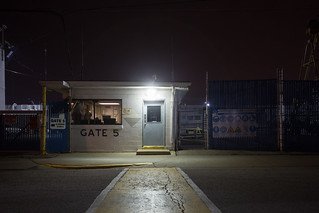
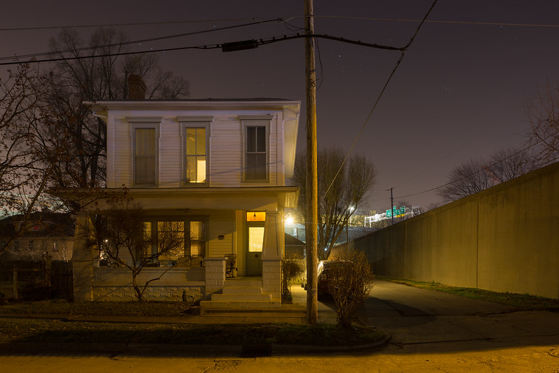
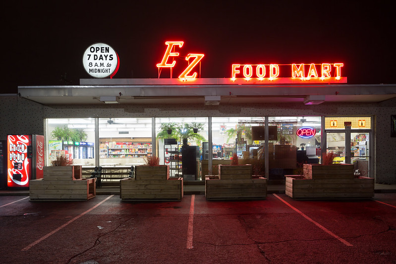
Since the record flood, the cities along the river constructed a mix of earthen and concrete flood walls above the 1937 high water line. Given how prominent these features are in the cities’ histories and built environment, I wanted to spend the few free hours I had to glimpse the cities’ connection with the Ohio. Perhaps some day I will return and start to develop a project that connects to my work upriver in the Pittsburgh area. But for now, that meant I often photographed near the flood walls, but also through sites with connections to the river, like the EZ Food Mart, which is open late to serve the Jeffboat shipyards or Clarksville’s Falls of the Ohio Liquor Store, that takes its name from the nearby waterfalls along the Ohio River.
