After years of steadily developing several long-term projects, 2018 was the year many of them dramatically changed. The Area is out in the world; my Hauts-de-France work is exhibiting; so many other projects are evolving. With those big changes in mind, here’s a recap of my work on major projects in 2018, a few highlights from smaller projects, and a little looking ahead to 2019.
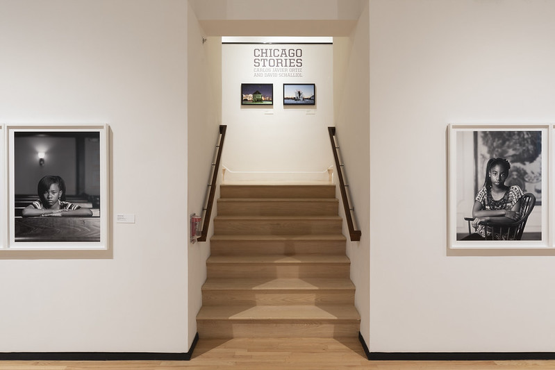
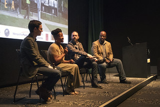
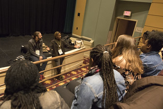
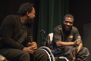
The Area Film
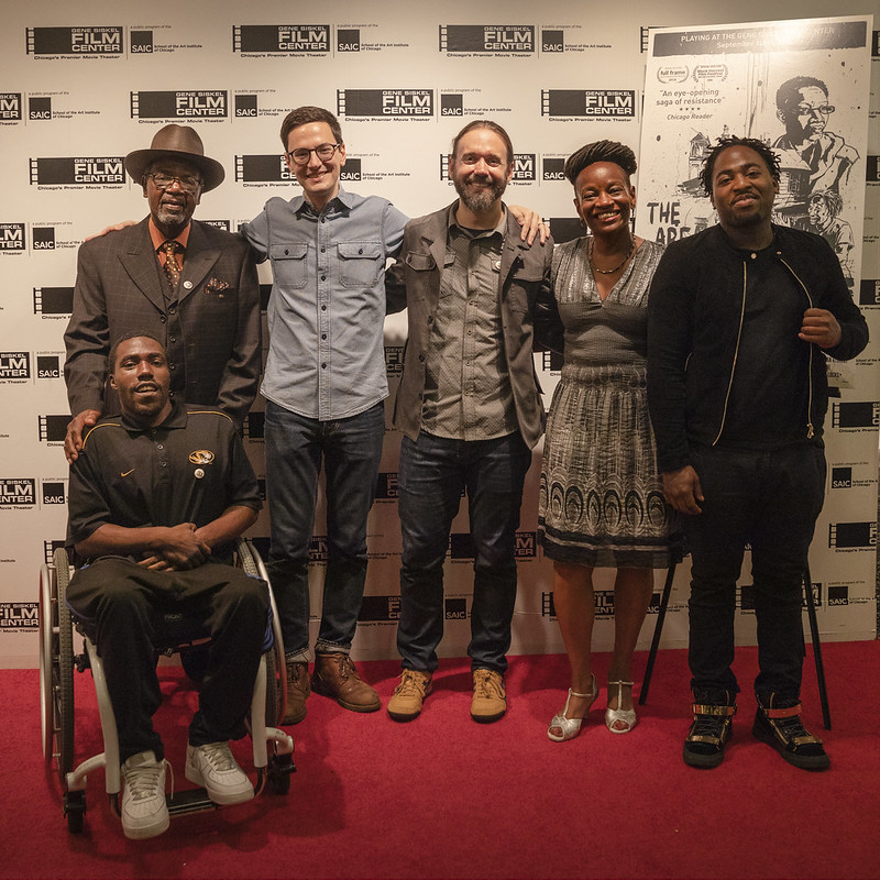
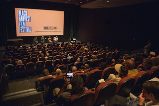
After six years of work, The Area is screening. Since premiering at the Full Frame Film Festival in April and making its Chicago premiere at the Black Harvest Film Festival in August, we’ve been busy screening the film with an amazing set of partners, including the Metropolitan Planning Council, the Museum of Contemporary Photography, the National Public Housing Museum, universities, community organizing groups, and the Gene Siskel Film Center. To learn more about screenings, news, and requesting a screening, visit The Area’s website.
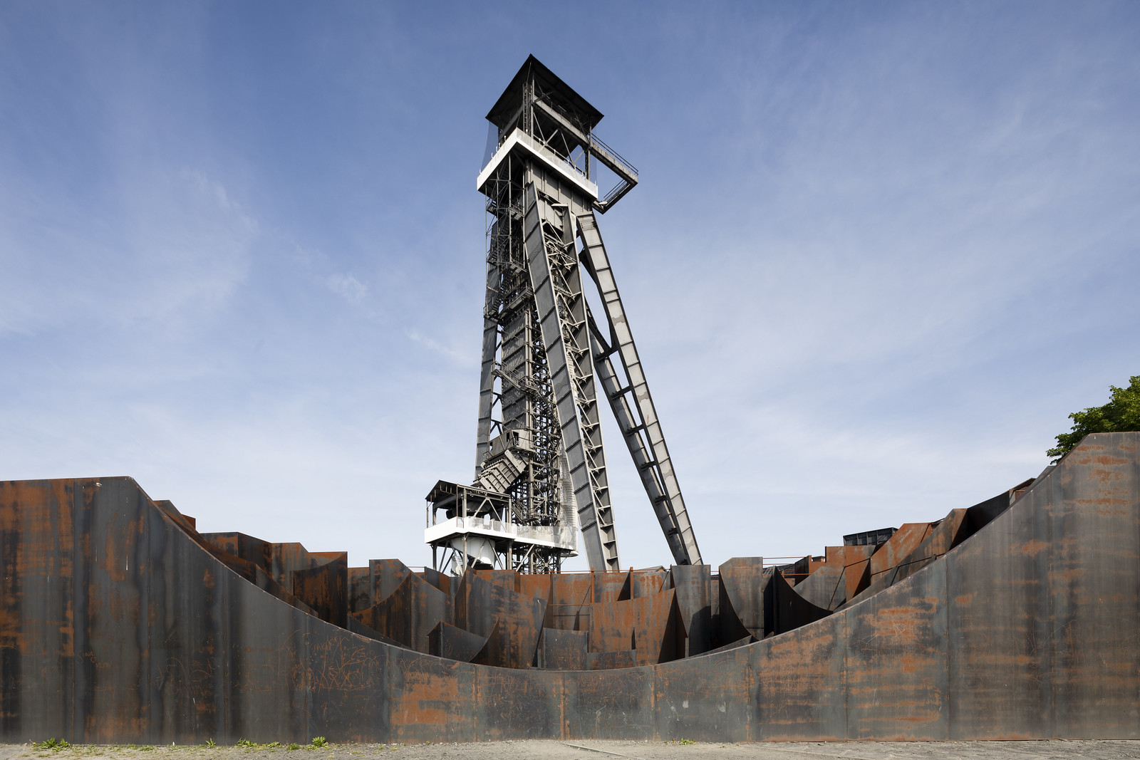
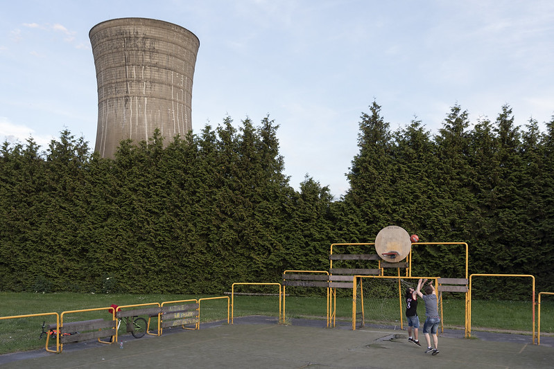
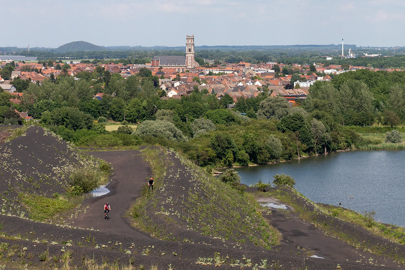
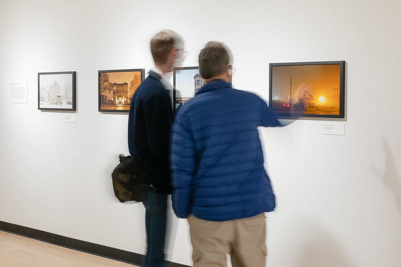
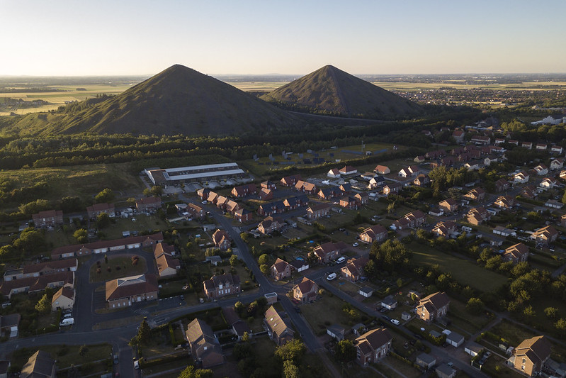
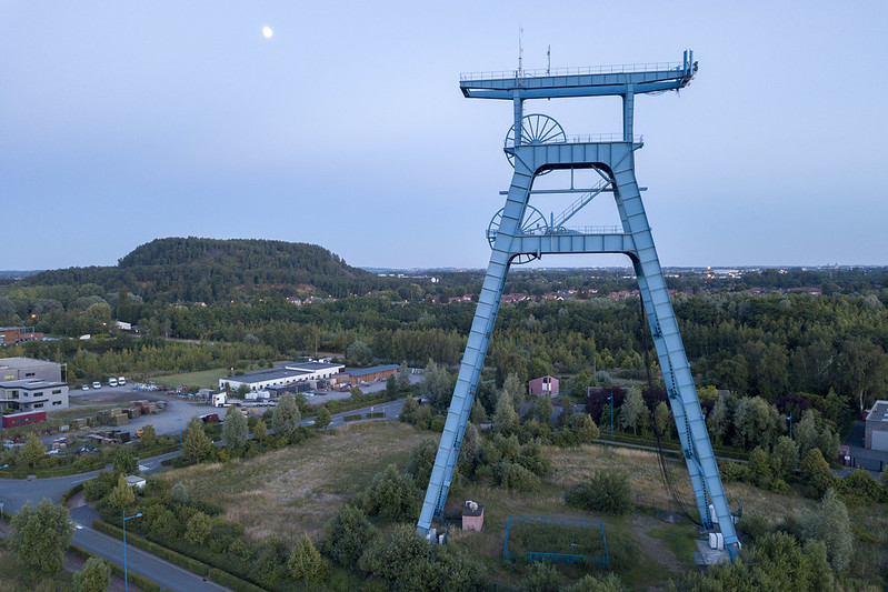
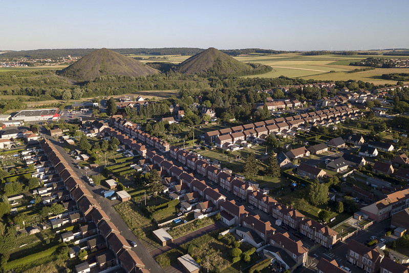
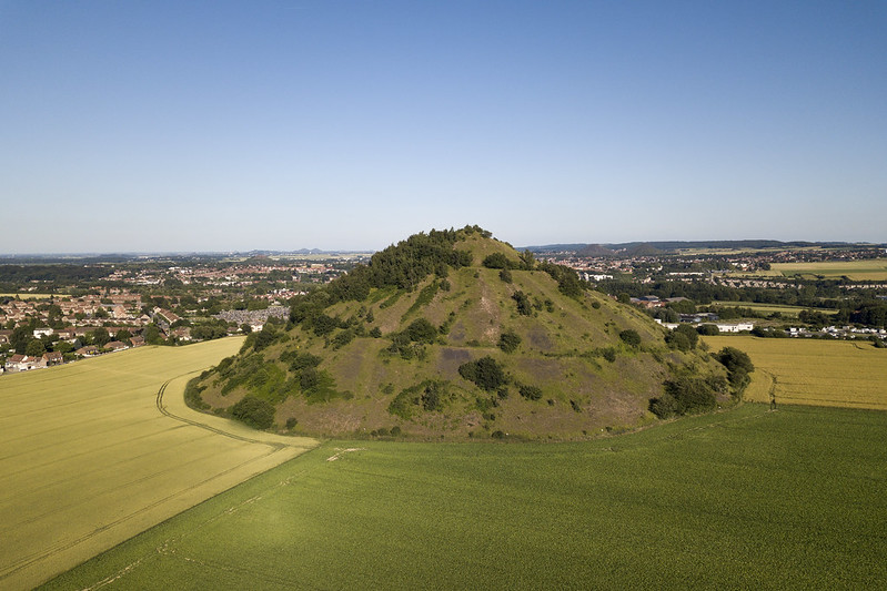
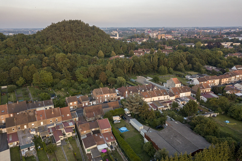
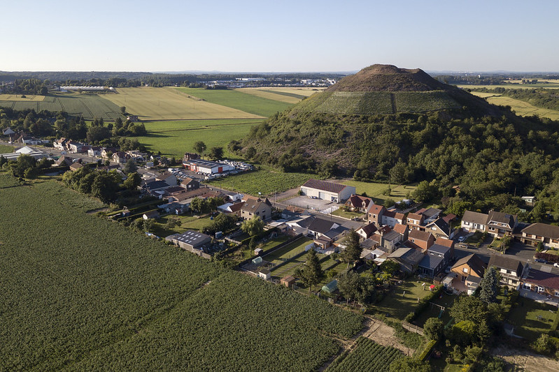
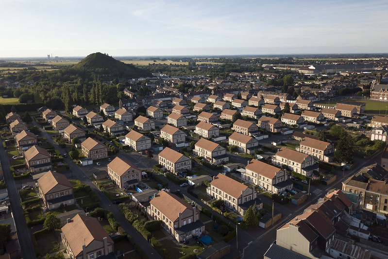
Hauts-de-France Mining Basin and the Resilient Images Residency
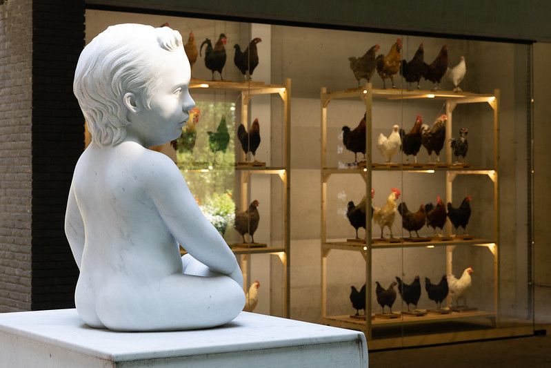
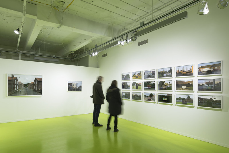
Following a preview at Expo Chicago and multiple exhibitions in France in 2017, my Resilient Images work had its full exhibition at the Hyde Park Art Center in 2018. In June, a subset of the project returned to France for exhibition during the national urban planning conference RDV avec la Ville. I made some new work during the June visit, so I’m not quite ready to call the project complete, but I’m pleased with it and where it’s going.
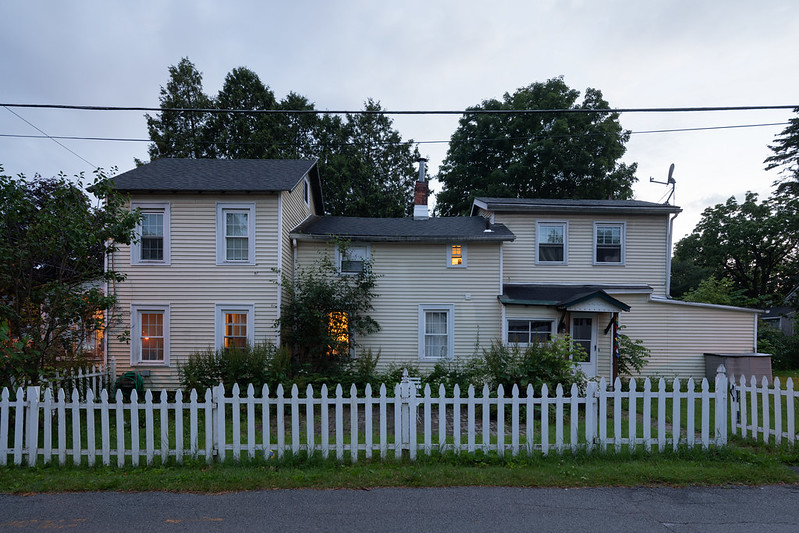
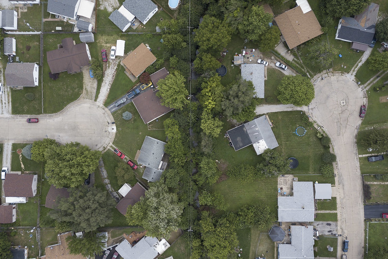
Bean Creek in Indianapolis, Indiana
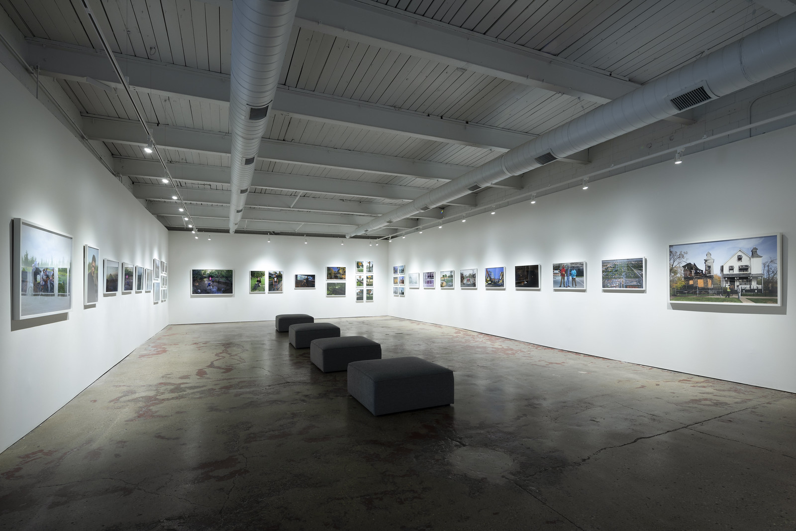
Over the last few years, I’ve been steadily developing a project in Indianapolis with support from Big Car. I tightened the work in 2018 by emphasizing how the south side neighborhood has evolved with small creek that winds through the community. The first exhibition from that residency will appear at the Tube Factory Art Space next year. The show focuses on the relationship between people and place, and puts the Bean Creek work in dialogue with my projects in The Area and Hauts-de-France. More information about the exhibition is on facebook.
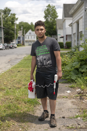
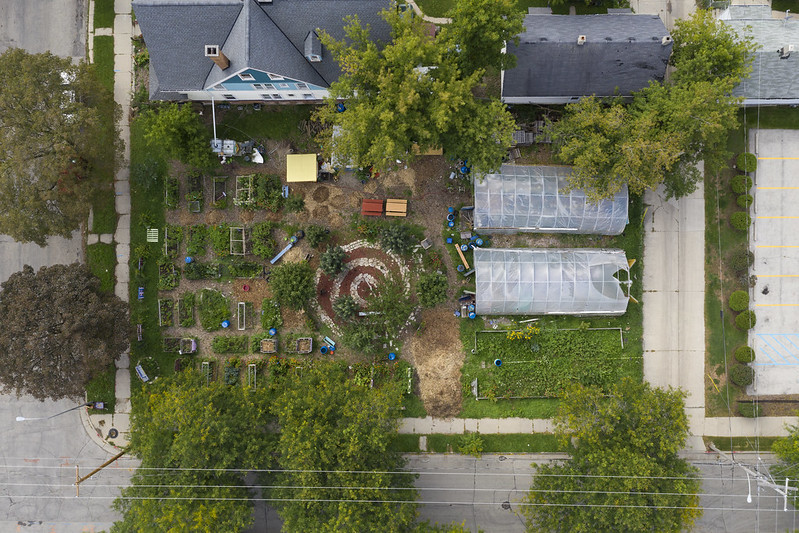
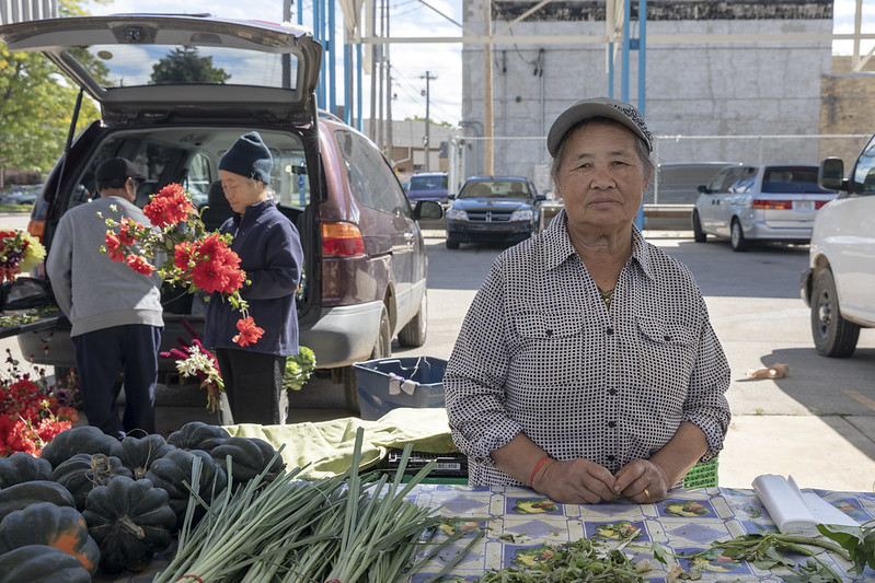
Urban Farming in Milwaukee, Wisconsin
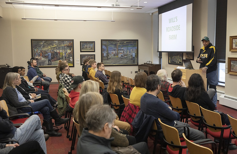
The national placemaking project Michael Carriere and I started back in 2009 is shifting from research to public engagement, with a second exhibition prepared and the book moving towards publication. In January, our exhibition Growing Place: A Visual Study of Urban Farming is opening at the Grohmann Art Museum, which situates Milwaukee’s contemporary urban farming movement in its history, drawing from archival photographs, documents, and contemporary artifacts. I’m especially excited about the programing we’re scheduling, including events with the Walnut Way Conservation Corps, Will Allen, and others. More details forthcoming!
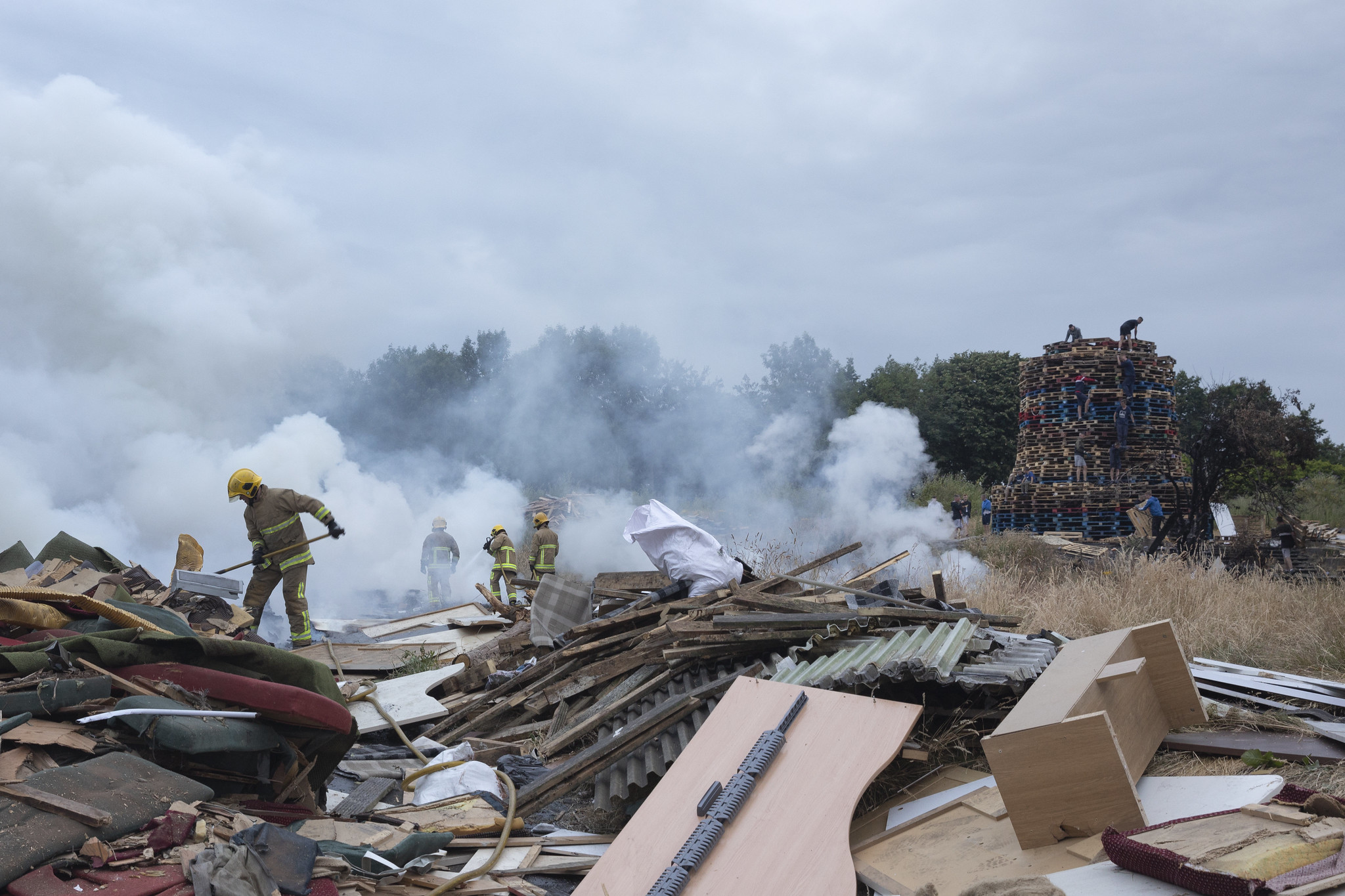
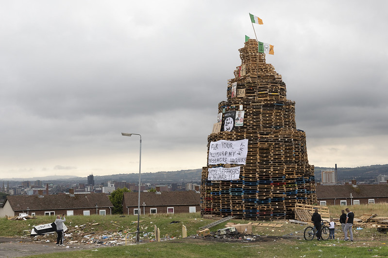
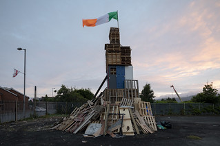
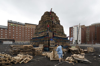
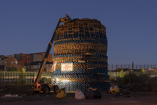
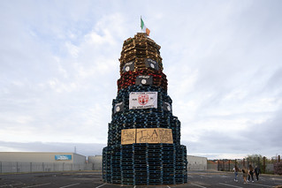
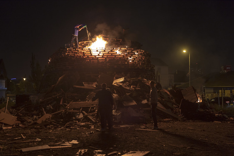
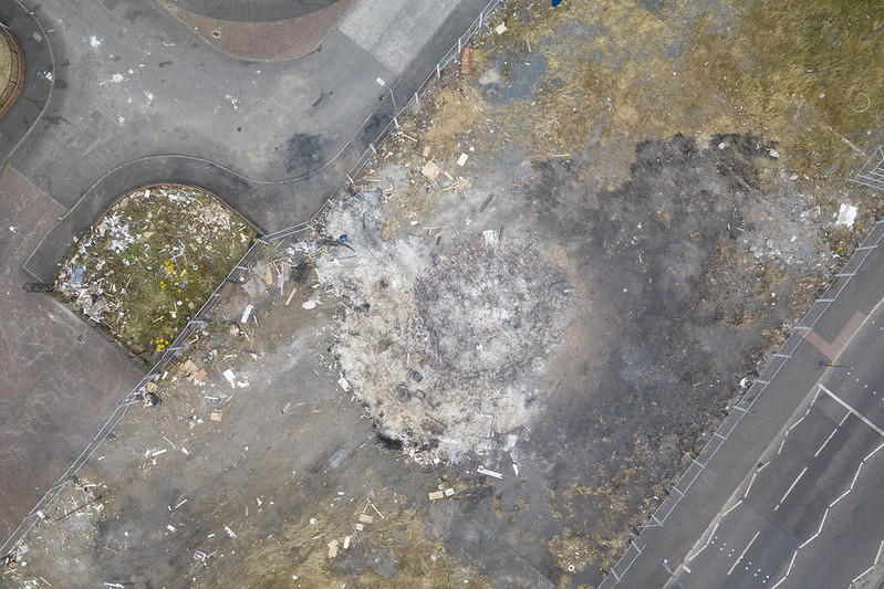
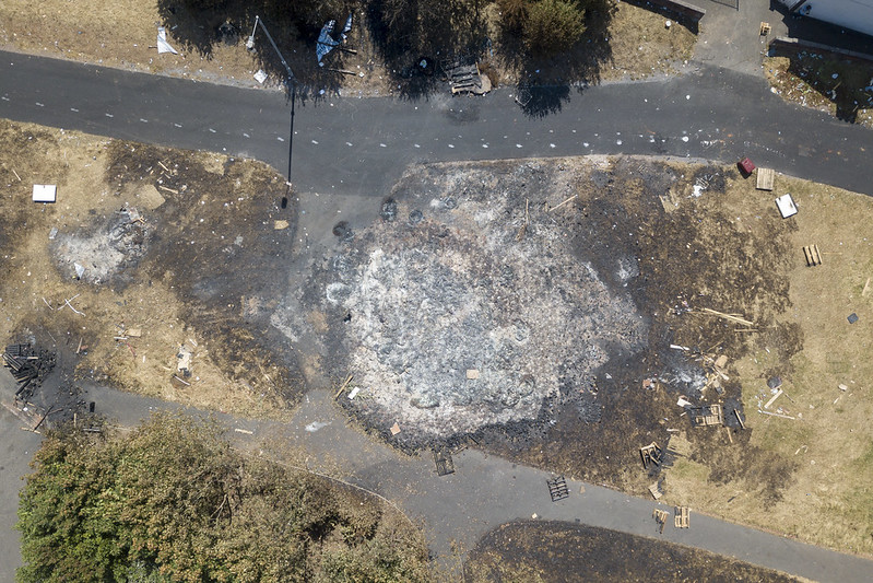
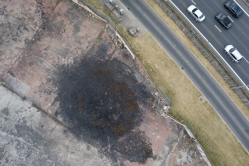
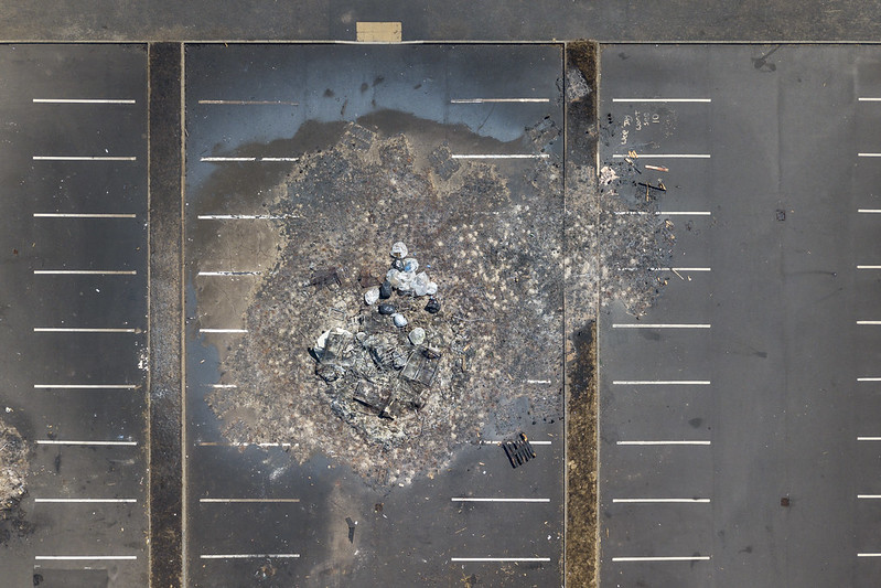
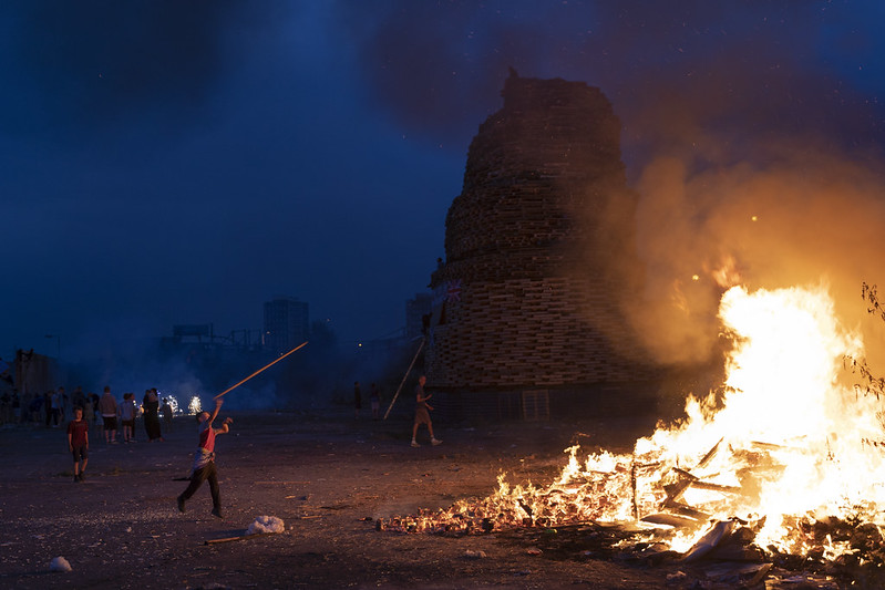
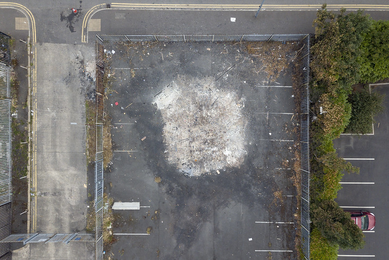
Belfast, Northern Ireland
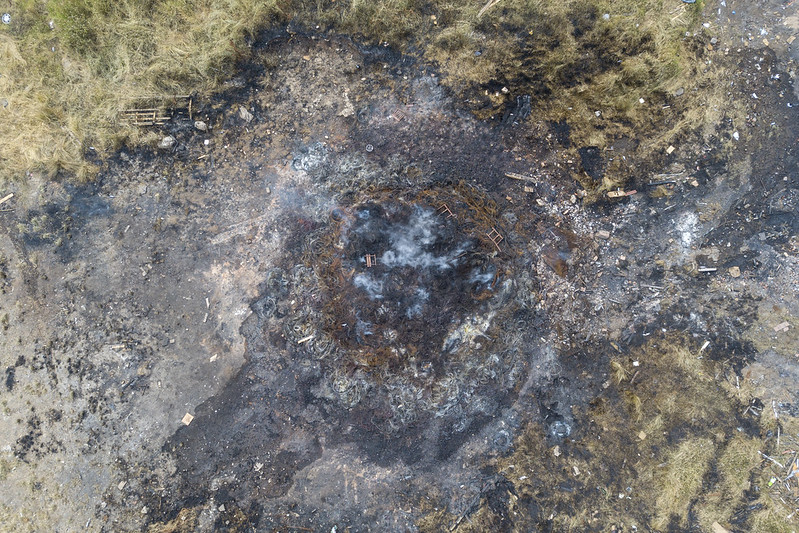
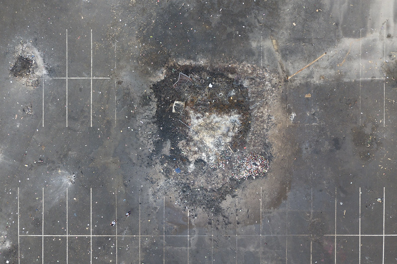
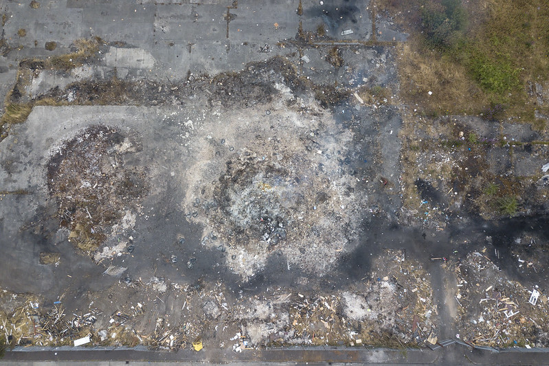
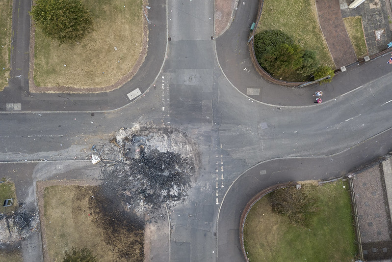
As I wrote earlier in the year, I made my fourth visit to Belfast, Northern Ireland in July to continue documenting the changing experience of Eleventh Night and The Twelfth. Among the new work I made this year was an aerial sub-project about the aftermath of the bonfires, which helps orient the work away from the specific moment of the events.
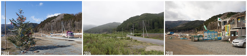
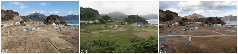
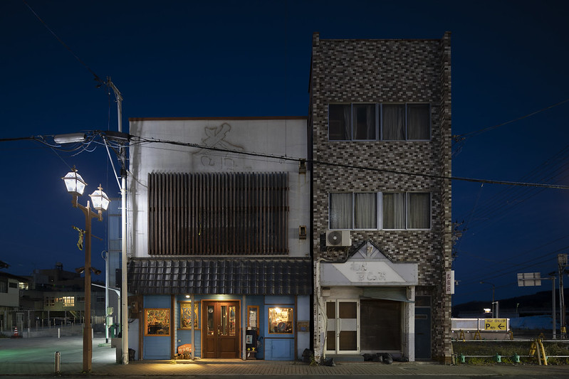
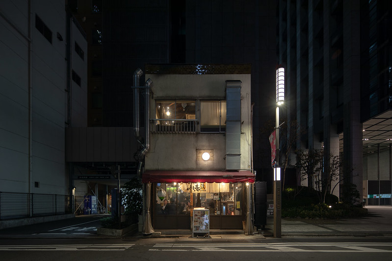
Rebuilding in Tōhoku, Japan
Last week I returned from Tōhoku, Japan, where I continued my work on the rebuilding process after the 2011 Tōhoku earthquake, tsunami, and nuclear disaster. I’ll be sharing more photographs in the next few weeks, but here are two favorite rephotography sequences and a building happily back in use in Ishinomaki. The rebuilding process is somehow overwhelmingly fast and slow.
SKETCHES FROM ELSEWHERE
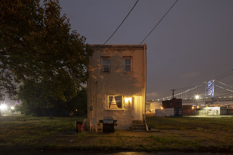
Camden, New Jersey

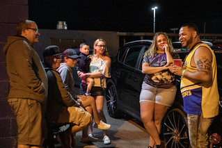
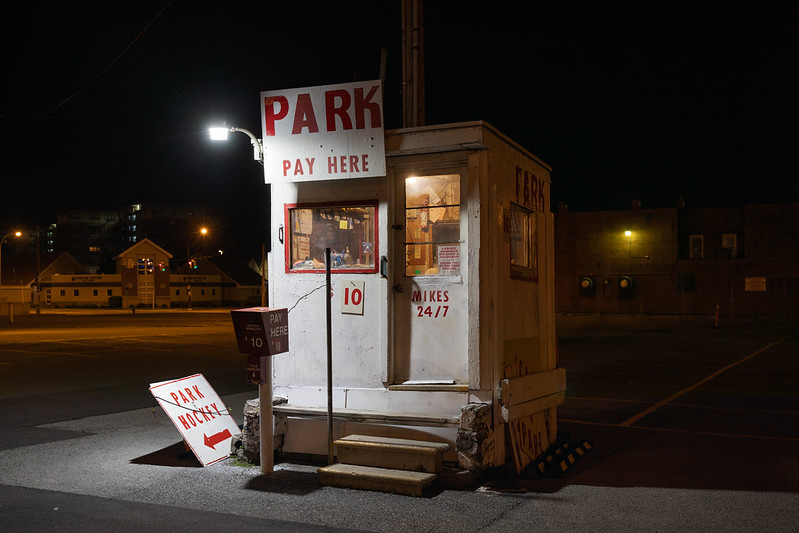
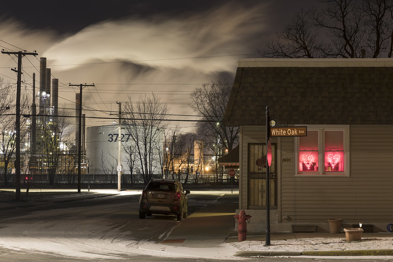
Chicago, Illinois Region
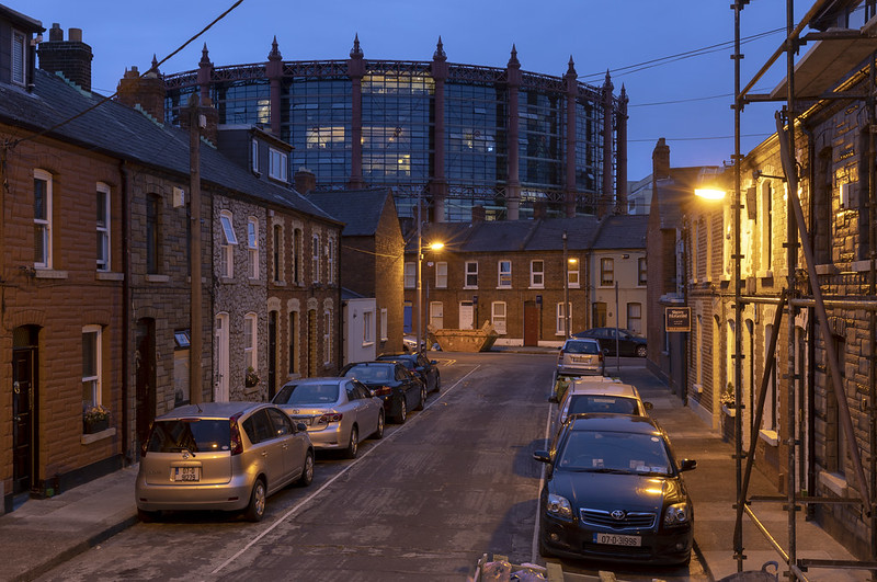
Dublin, Ireland
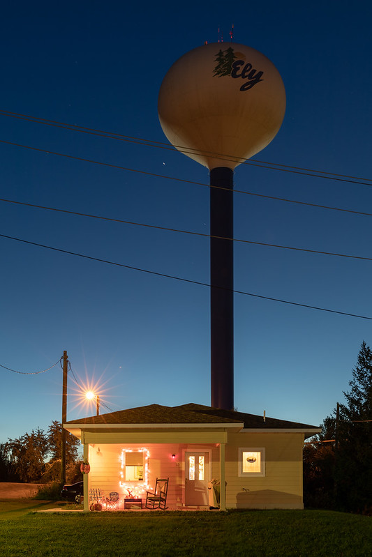
Ely, Minnesota
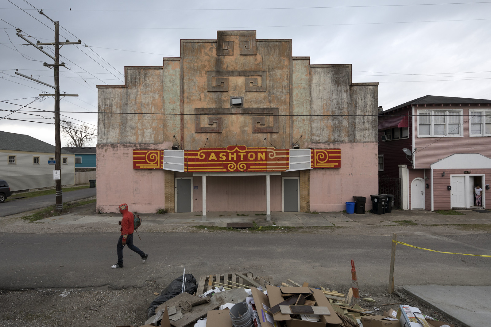
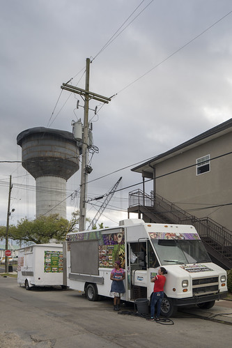
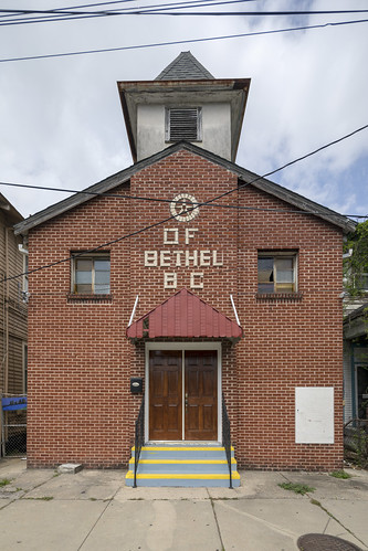
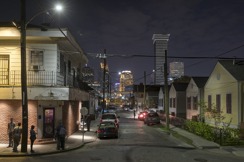
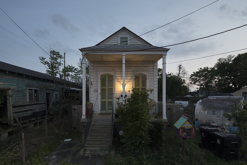
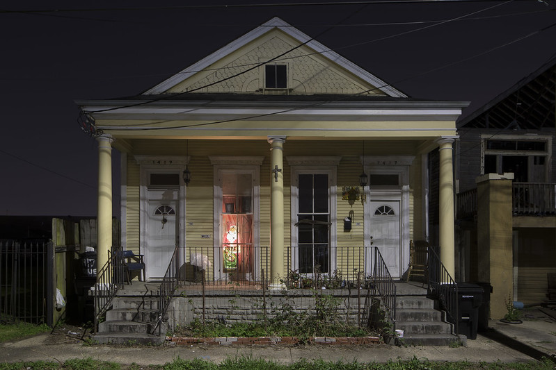
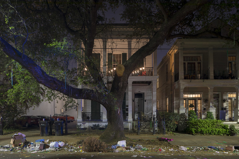
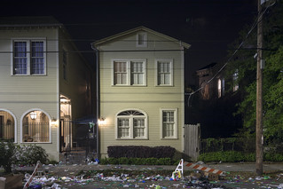
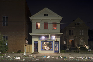
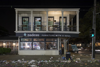
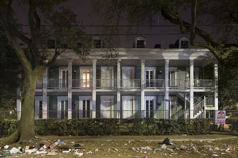
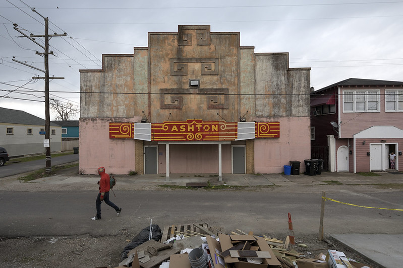
New Orleans, Louisiana
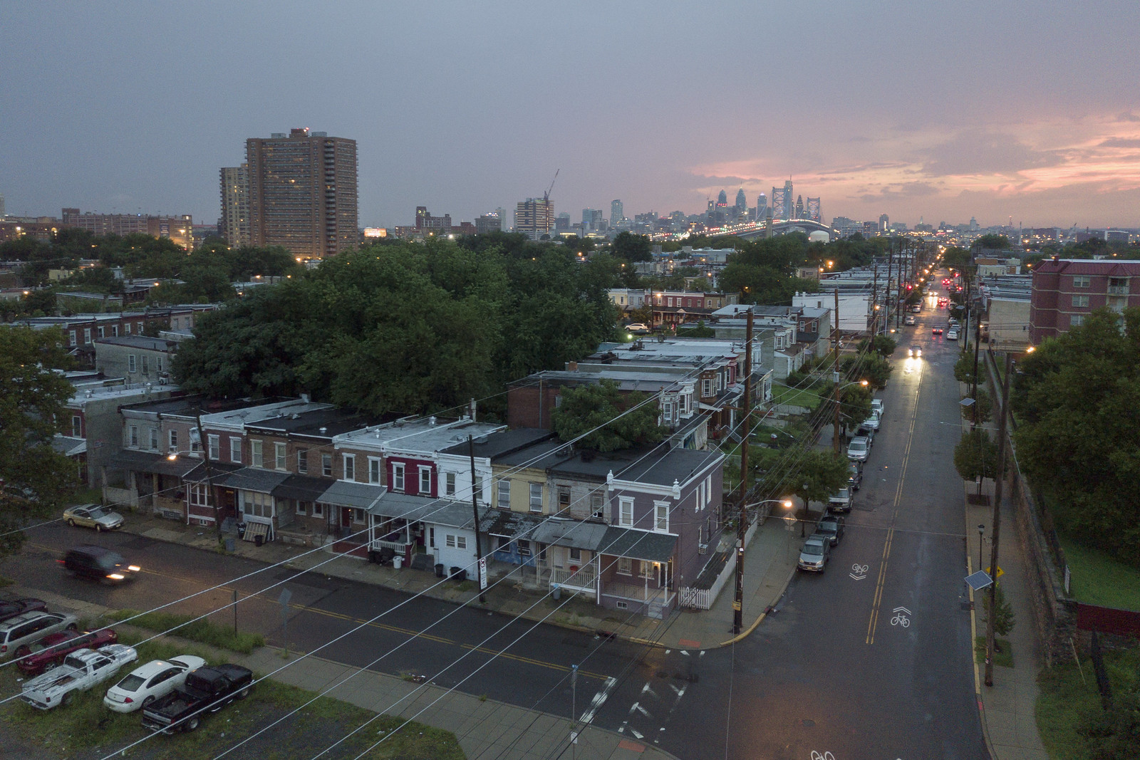
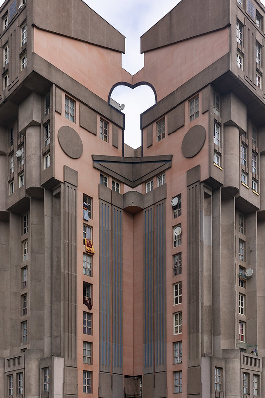
Paris, France Region
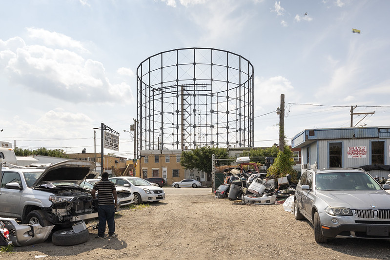
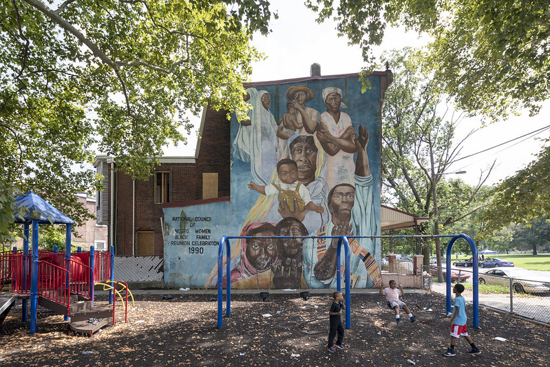
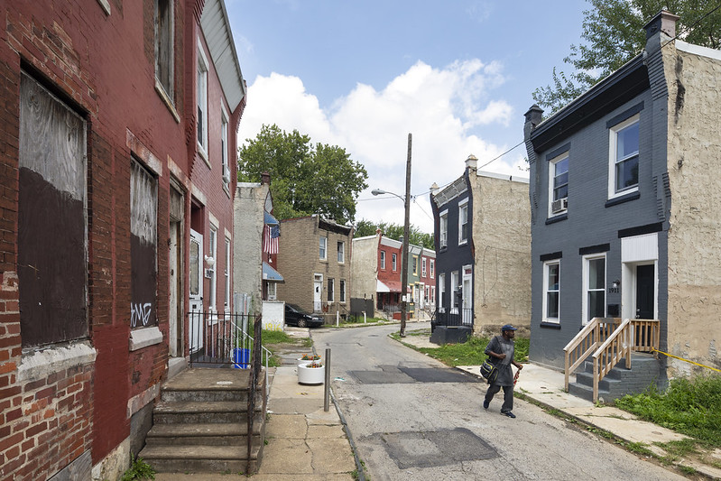
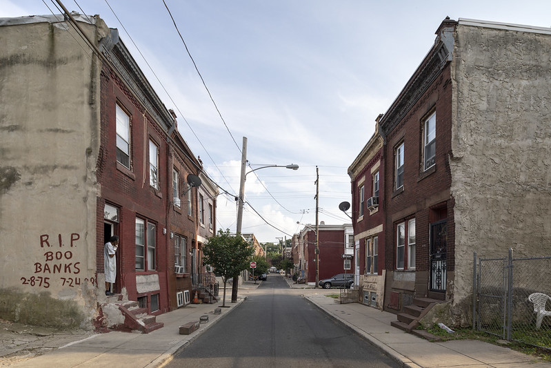
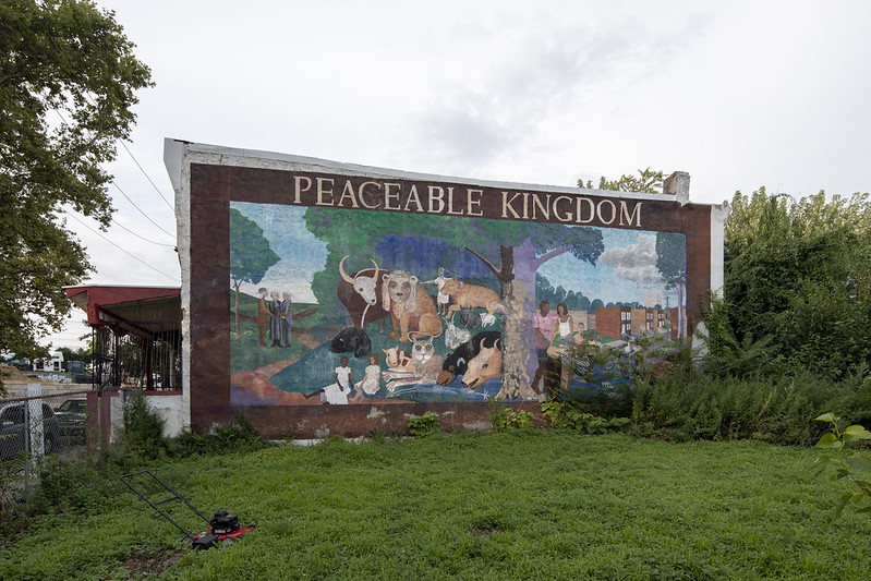
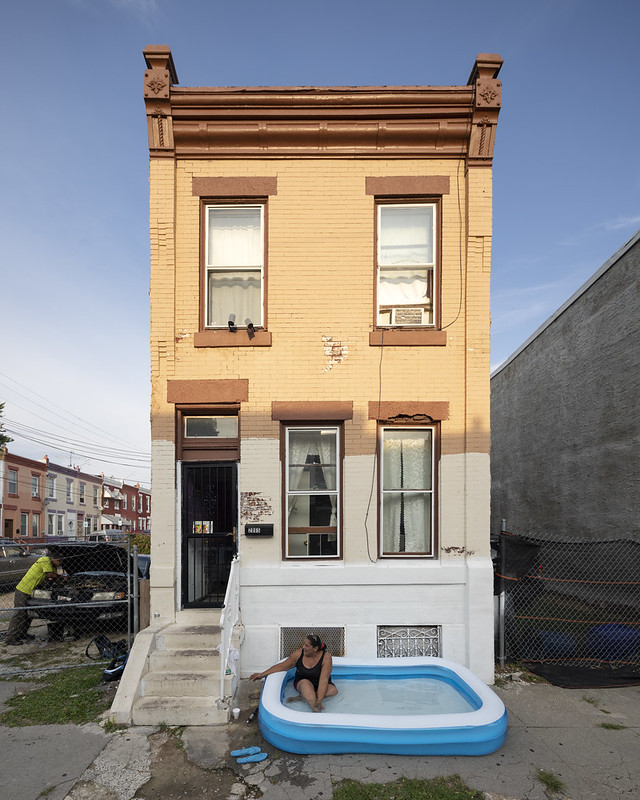
Philadelphia, Pennsylvania
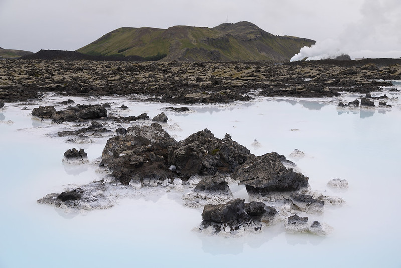
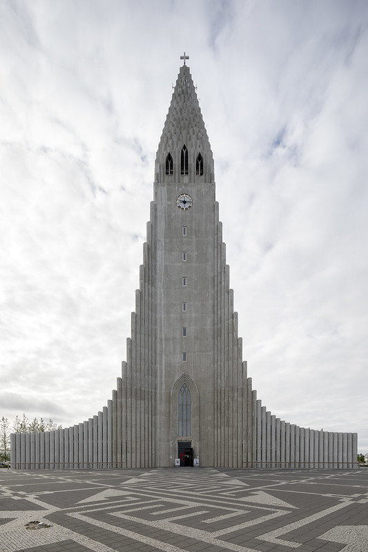
Reykjavik, Iceland Region
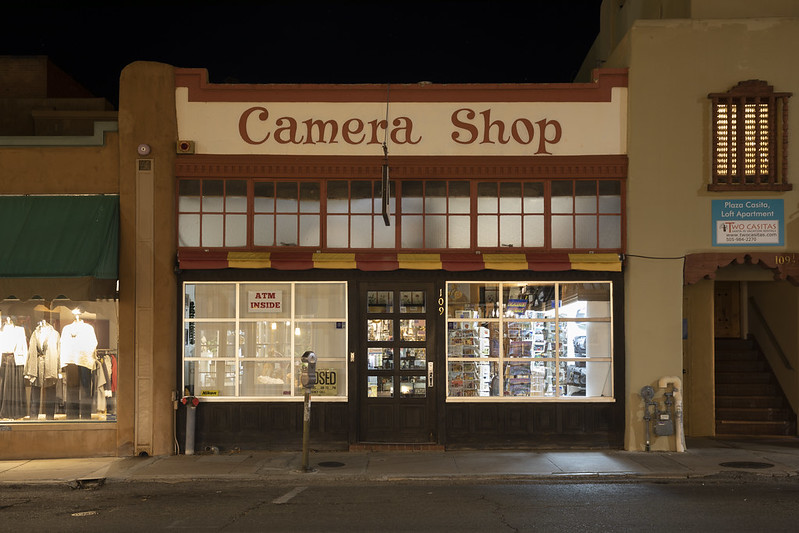
Santa Fe, New Mexico
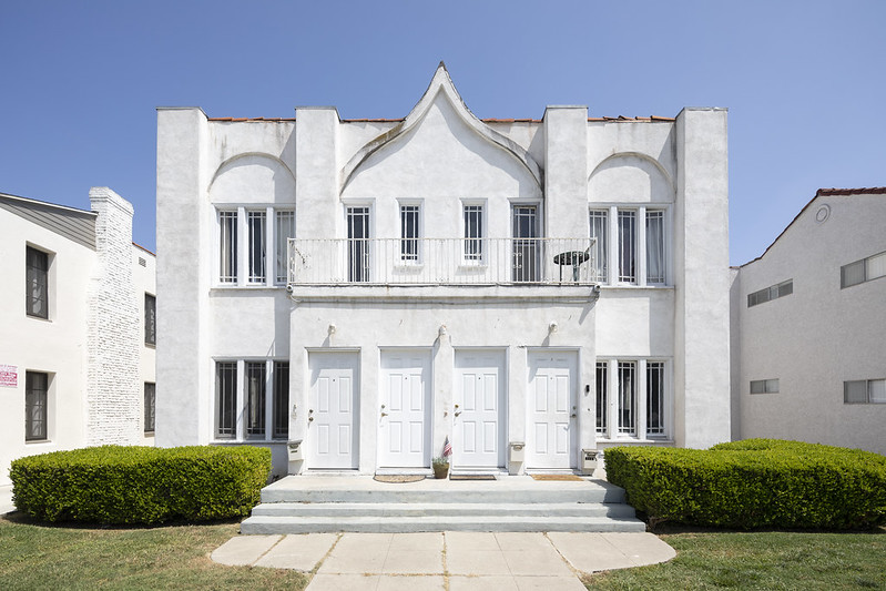
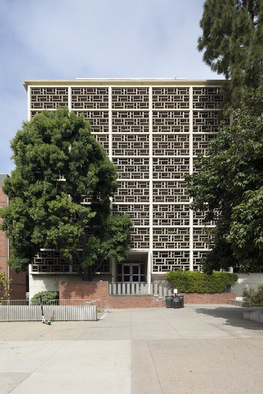
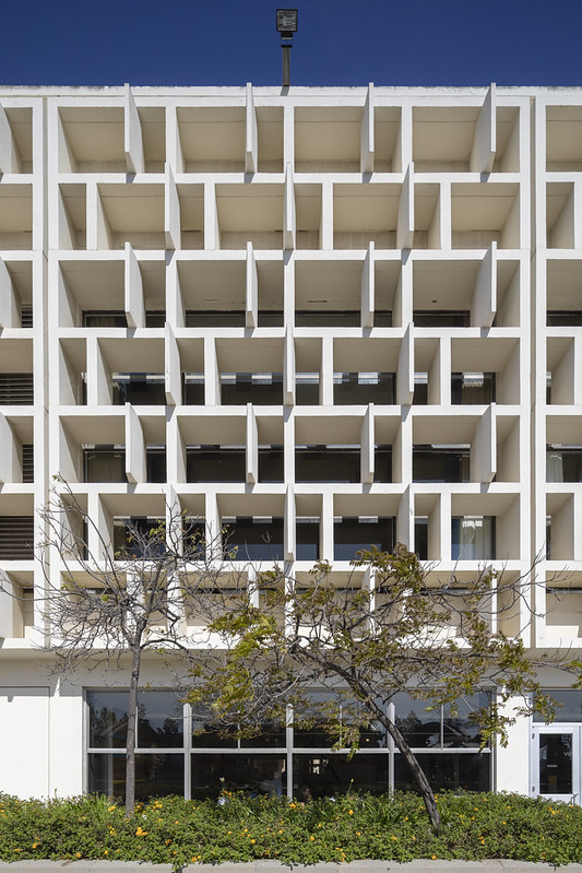
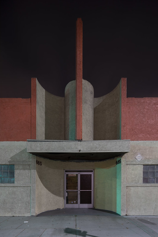
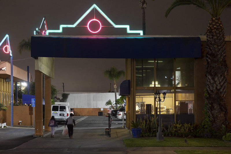
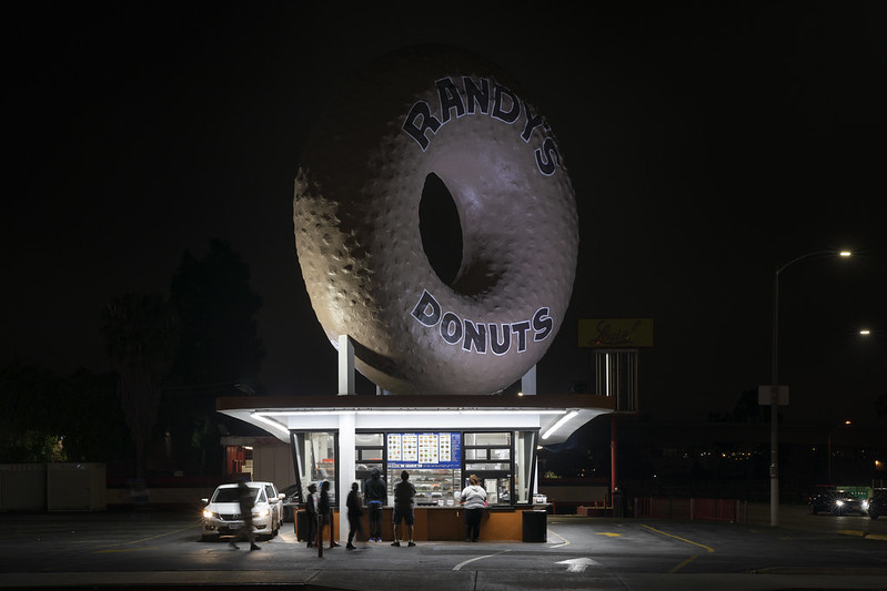
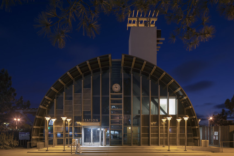
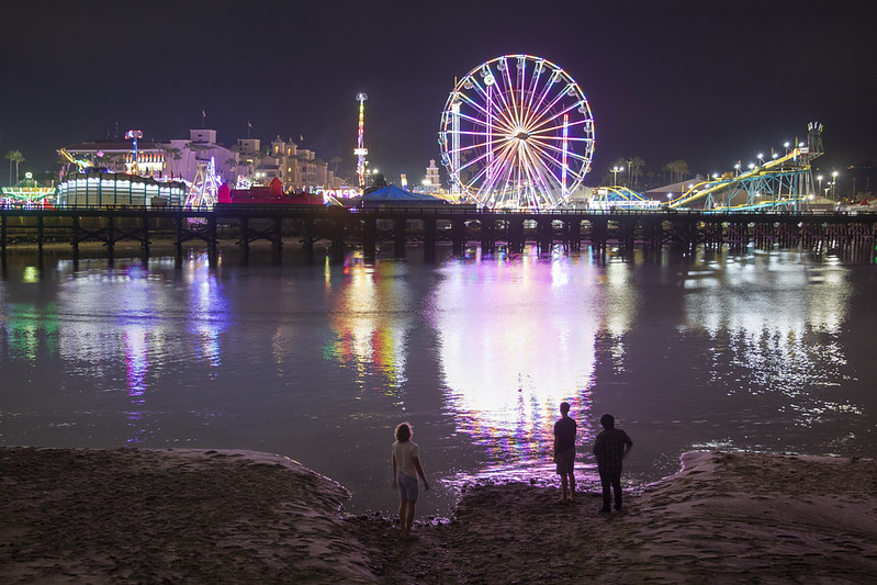
San Diego, California Region
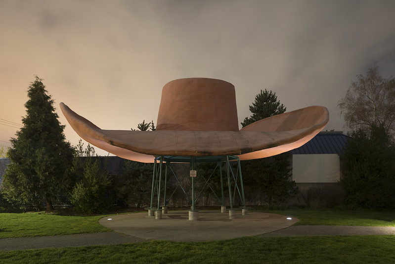
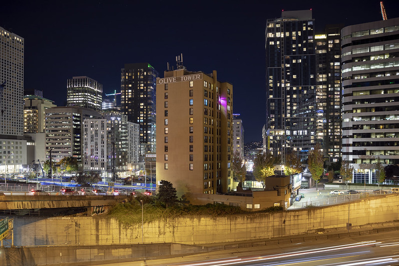
Seattle, Washington
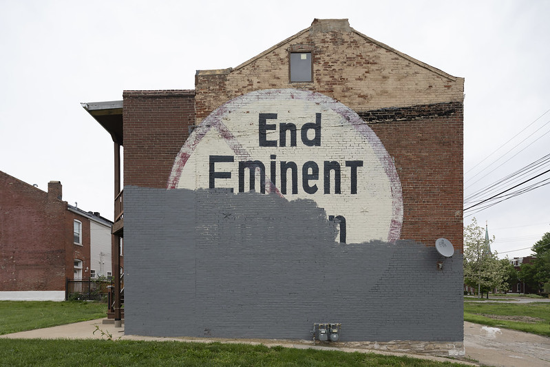
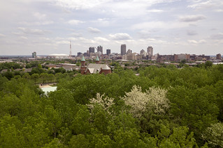
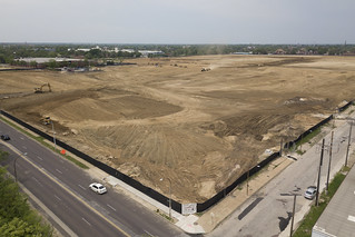
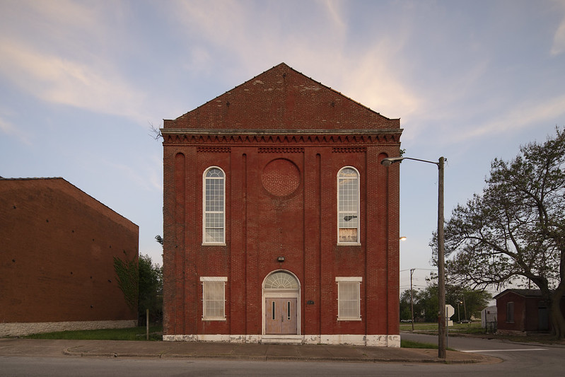
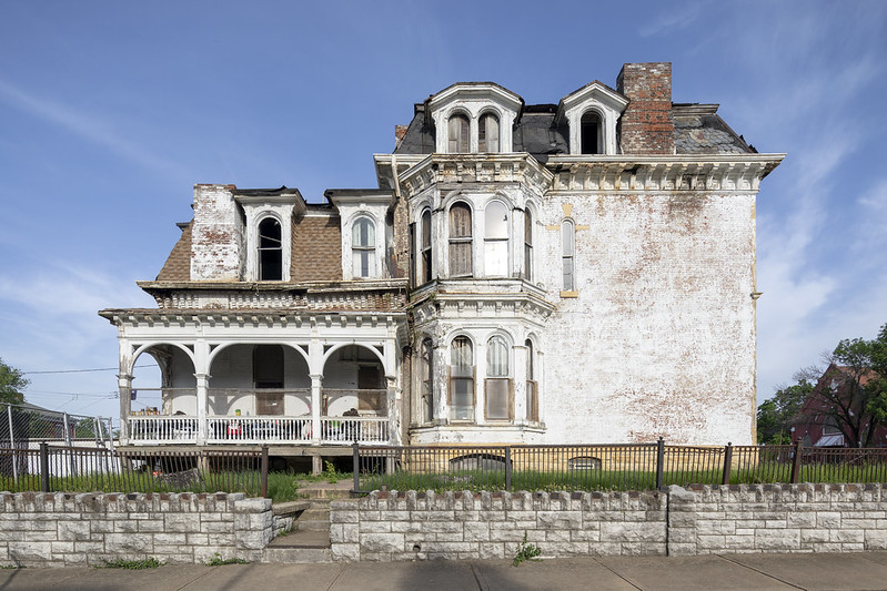
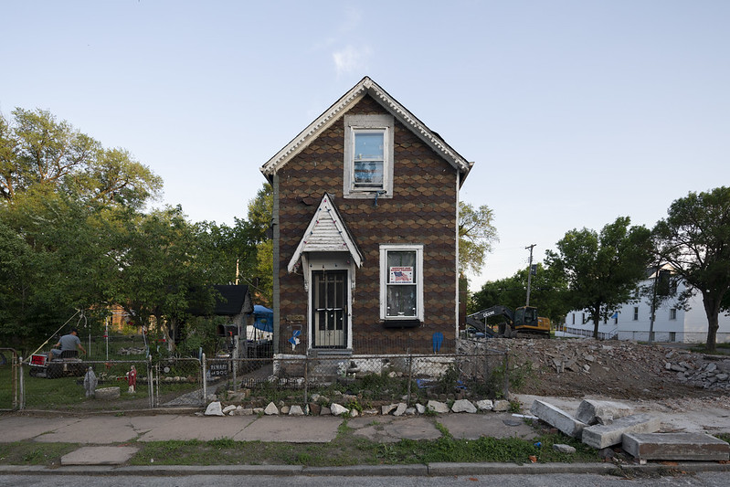
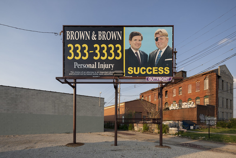
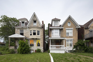
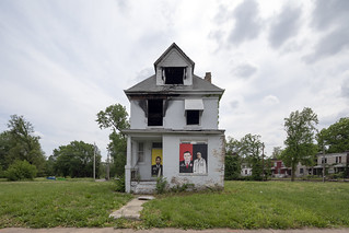
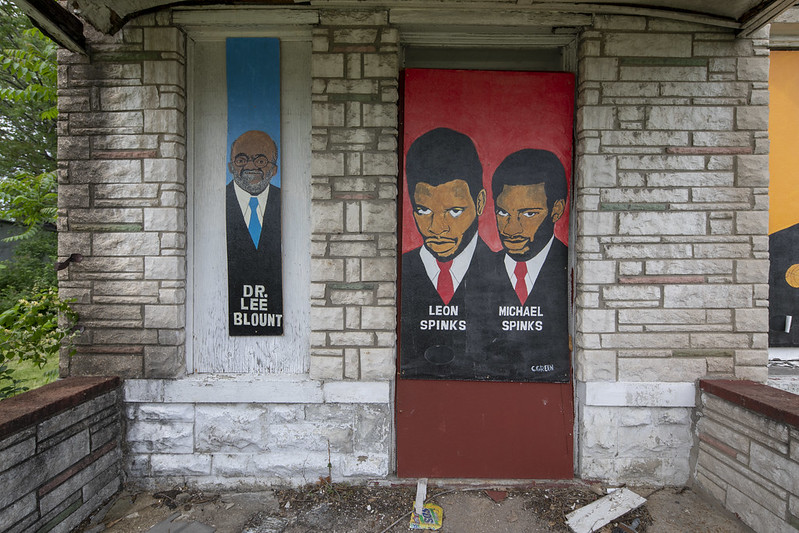
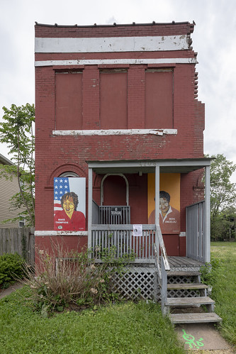
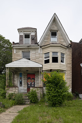
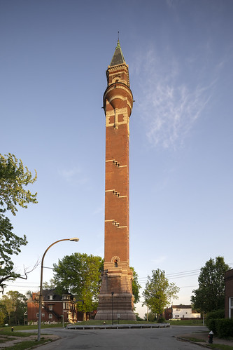
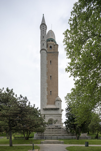
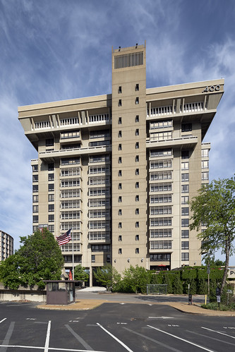
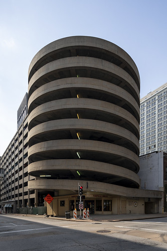
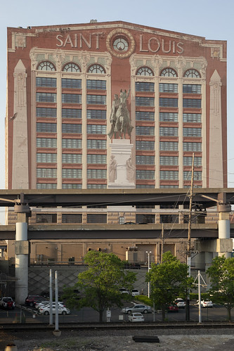
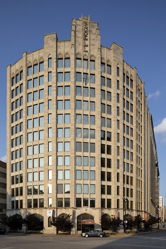
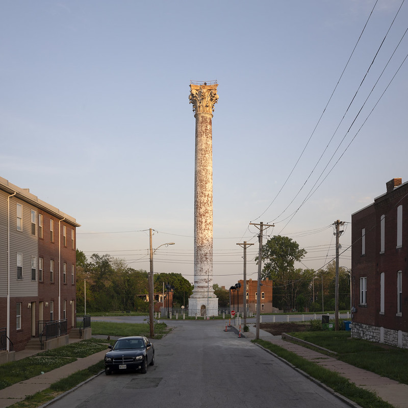
St. Louis, Missouri
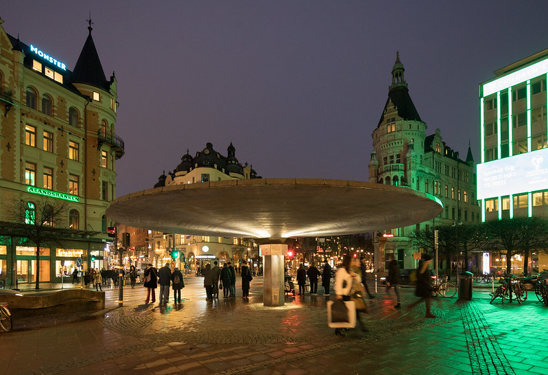
Stockholm, Sweden
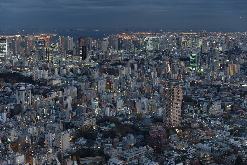
Tokyo, Japan
To 2019!